
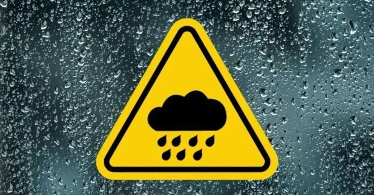
Dublin — Met Éireann has issued a Status Yellow rain warning for three southern counties—Cork, Kerry, and Waterford—in anticipation of heavy, unsettled weather next week. The warning specifies the risk of heavy rain, gusty winds, and localised flooding, and will be in effect from midnight on Tuesday (November 11) until noon across the three counties.
Today’s Weather (Sunday, November 9)
After a bright start this morning across most of the country, clouds are expected to build in the south this afternoon. Rain will arrive in the south later in the day and spread northwards during the evening.
- Temperatures: Highs of $11^\circ\text{C}$ to $15^\circ\text{C}$.
- Winds: Light to moderate southerly winds, easing later.
The Week Ahead: Wettest Day on Tuesday
Monday will begin damp and misty, with showers clearing northwards by the afternoon. However, heavier rain is forecast to return later in the evening. Temperatures will range from $9^\circ\text{C}$ to $12^\circ\text{C}$, with winds picking up overnight.
Tuesday is predicted to be the wettest and windiest day of the week. The country will face heavy rain, localised flooding, mist, and coastal fog.
- Temperatures: Highs of $12^\circ\text{C}$ to $15^\circ\text{C}$.
- Winds: Southeast winds will be fresh to strong and gusty.
The unsettled conditions will persist into Thursday and Friday. However, forecasters have noted early signs suggesting that cooler, more settled conditions may arrive from the north over the weekend.
Motorists and road users in the affected counties, particularly Cork, Kerry, and Waterford, have been strongly urged to exercise extreme care on the roads due due to the poor visibility and risk of surface water flooding.


