
Ireland is bracing for the impact of Storm Éowyn, which is expected to bring severe weather conditions across the country starting Thursday night and continuing into Friday. Met Éireann has issued multiple warnings, including a Status Yellow fog warning for 15 counties and advisories for gale-force winds and heavy rain.
Weather Warnings and Expected Impact
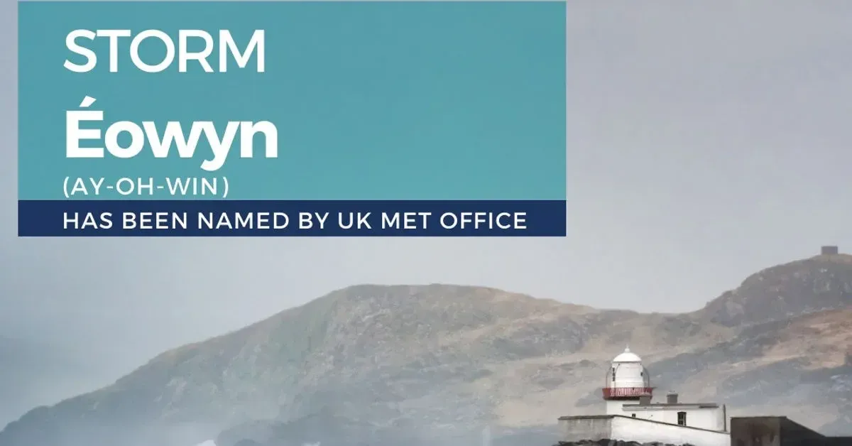
Met Éireann has named Storm Éowyn as the fifth storm of the 2024/2025 season. The storm is forecast to be a deep low-pressure system, bringing strong southeasterly winds that will veer west to south-westerly and intensify through Friday morning. The national meteorological service has warned of very strong to gale-force winds, with gusts potentially reaching 96-112 km/h inland and 120-128 km/h along the coasts.
The storm is expected to cause dangerous travelling conditions, with the possibility of displaced objects, fallen trees, and power outages. Coastal areas are particularly at risk, with high seas and wave overtopping at high tide due to strong on-shore winds. Met Éireann has advised the public to stay updated with the latest weather alerts as the situation evolves.
In addition to the wind and rain warnings, Met Éireann has issued a Status Yellow fog warning for Carlow, Kildare, Kilkenny, Laois, Longford, Louth, Meath, Offaly, Westmeath, Cavan, Monaghan, Leitrim, Roscommon, Tipperary, and Waterford. The warning is in effect from 10 pm tonight until 10 am tomorrow, with foggy conditions expected to impair visibility.
As Storm Éowyn tracks across Ireland, there is also a possibility of sleet and snow, particularly in the west and north of the country. The storm’s path remains uncertain, but forecasters believe all parts of the country will experience stormy conditions. The combination of heavy rain and snow melt could lead to localised flooding in some areas.
Impact on Travel and Infrastructure
Storm Éowyn is expected to bring a spell of strong south-easterly to south-westerly winds, with gusts reaching 96-112 km/h inland and 120-128 km/h along the coasts. The storm will also bring spells of heavy rain across different parts of the country and sleet and snow to parts of the west and north in particular. The main impacts will start to be felt overnight on Thursday and through Friday, with some potentially lasting longer.
Dangerous travelling conditions are anticipated, with the possibility of displaced objects, fallen trees, and power outages. Poor visibility in any sleet or snow and surface water flooding are also concerns, as the ground is saturated countrywide. Localised river flooding is possible, given the expected rainfall totals over the weekend. High seas and wave overtopping at high tide due to strong on-shore winds are also expected.
Met Éireann’s Deputy Head of Forecasting, Liz Coleman, has emphasised the importance of staying informed and prepared for the storm’s impact. “Storm Éowyn will bring wet and very windy conditions on Friday, especially in the west and northwest. The very strong southwest winds with damaging gusts will start to be felt late on Thursday and will cause dangerous travelling conditions on Friday, with the likelihood of trees down and potentially power outages,” she said.
The UK Met Office has also issued a yellow wind warning for Northern Ireland and the western half of Scotland, including Glasgow, from midnight on Friday to midday on Saturday. Irish airports and ferry services are likely to be affected, with potential delays and cancellations due to the severe weather.


