
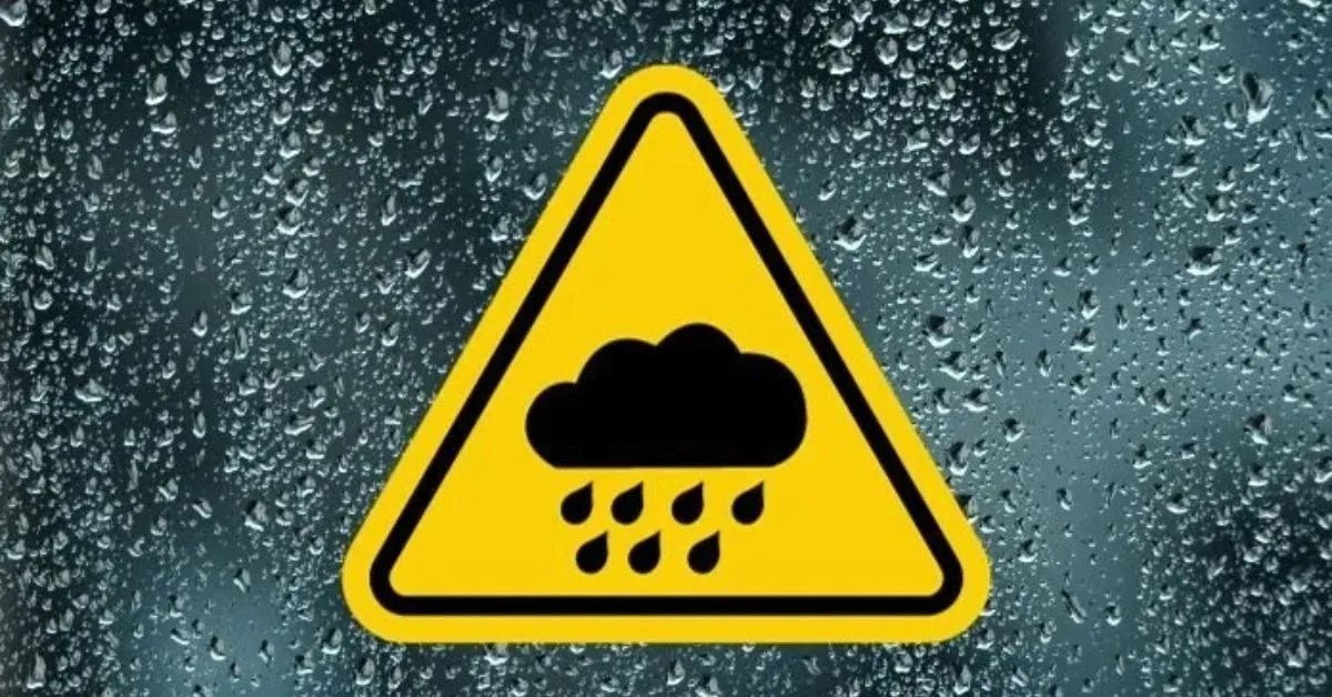
Ireland is currently bracing for a prolonged spell of heavy and persistent rain that is expected to increase the risk of flooding across multiple counties throughout the weekend. Met Éireann, the national forecaster, has issued Status Yellow Rain Warnings covering large parts of the west, south, and east of the country.
Status Yellow Rain Warnings: Details
The warnings are prompted by existing high river levels and saturated ground, meaning additional rainfall significantly increases the threat of flooding and hazardous travel conditions.
| Warning Area | Affected Counties | Validity Period | Key Impacts |
| Western/Southwest Coast | Connacht (Galway, Leitrim, Mayo, Roscommon, Sligo), Clare, Cork, Kerry, Limerick, Donegal | 6:00 PM Saturday to 12:00 AM Monday | River & surface flooding, difficult travel, poor visibility. |
| Southeast Coast | Tipperary, Waterford, Wexford | 12:00 AM Sunday to 3:00 AM Monday | River & surface flooding, difficult travel, poor visibility. |
Forecast Summary (Next 24 Hours)
- Tonight (Saturday): The country will experience a wet and blustery night. Widespread rain and drizzle will turn heavy, particularly across Atlantic coastal counties in the southwest, west, and northwest. Temperatures will remain mild, generally between 10 to 12 degree.
- Tomorrow (Sunday): Wet and windy conditions will continue, with outbreaks of rain spreading across all regions, heaviest in the south and west. Strong to gale-force winds are expected along the coasts, prompting Small Craft Warnings for all coastal areas.
- Outlook: Drier conditions are expected to develop early next week, bringing a temporary reprieve before more unsettled weather returns midweek.
Travel Advice: Motorists are strongly advised to reduce speed, allow extra braking distance, and be highly cautious of standing water and localized spot flooding, especially on rural and secondary routes.


