
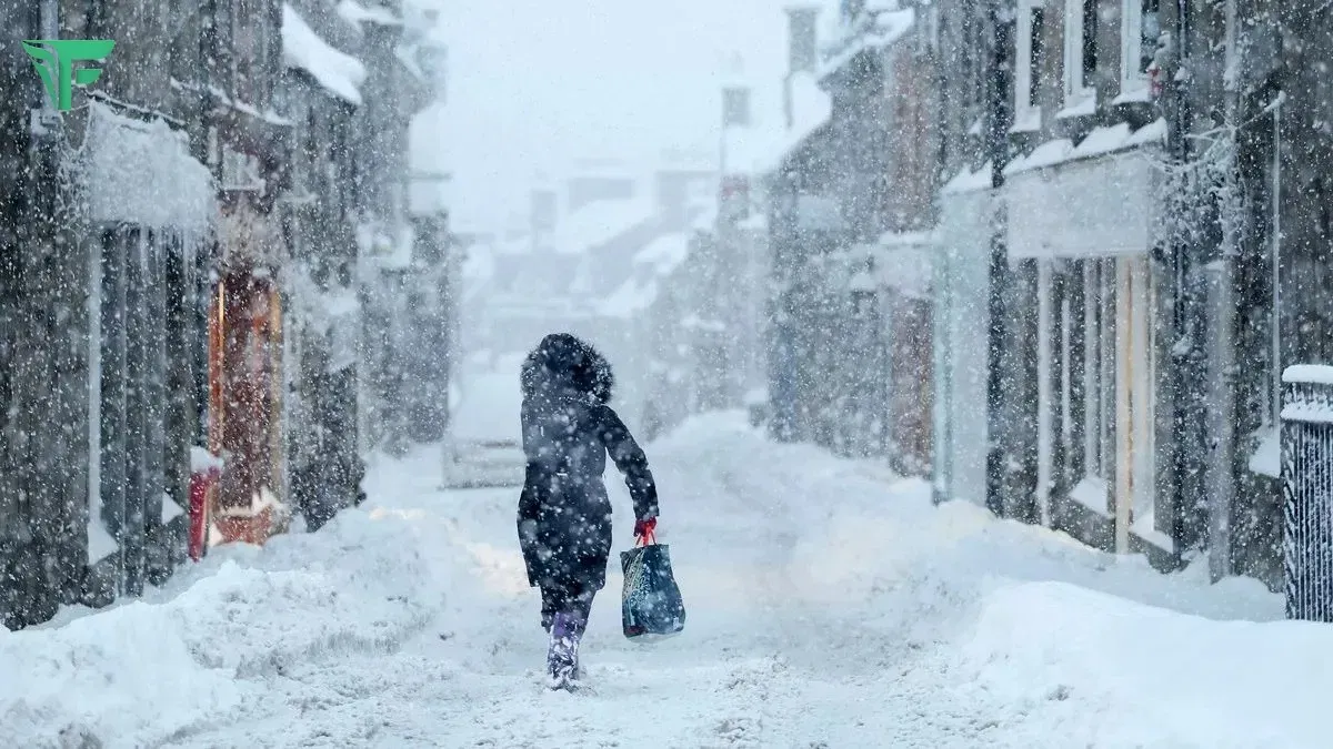
Met Éireann has issued Status Yellow snow and rain warnings for Cork, Kerry, Waterford, and Wexford as Storm Goretti approaches, bringing heavy rain, sleet, and potential snow accumulations this Thursday.
Forecasters at Met Éireann confirmed on Wednesday morning that the new storm system, named by France’s Météo-France, will skirt the south coast of Ireland on January 8. While the core of the storm is expected to track across southern England and northern France, its northern fringes will trigger a period of hazardous weather across the southern half of the country.
Weather Warning Details
The Status Yellow alert remains in effect from 12:00 to 20:00 on Thursday, January 8. Key impacts expected include:
- Heavy Precipitation: Rain will turn to sleet and snow in many areas, with the highest risk of accumulations on elevated ground.
- Travel Hazards: Hazardous driving conditions are expected due to poor visibility and the development of icy patches.
- Flooding: Heavy rainfall may lead to localized spot flooding.
National Outlook
While the southern counties face the brunt of Storm Goretti, the rest of the country will see thickening cloud and outbreaks of rain or drizzle pushing northeastward.
- Temperatures: Afternoon highs will range between 2°C and 5°C, though it will feel significantly colder in fresh to strong northerly winds along the coast.
- Northern Ireland: The UK Met Office has maintained a separate ice warning for Antrim, Armagh, Down, Fermanagh, Tyrone, and Derry valid until Wednesday morning, as untreated surfaces remain dangerous following a recent cold snap.
- Marine Alerts: Small craft warnings are also in place from Carnsore Point to Mizen Head, with winds expected to reach Force 6 or higher.
Regional Impact
The storm has already caused significant disruption on the continent, with approximately 140 flights cancelled at Paris Charles de Gaulle and Orly airports on Wednesday due to heavy snowfall. In Ireland, local authorities have urged motorists to exercise extreme caution on secondary and untreated roads during the eight-hour warning period.
Met Éireann predicts a return to more “unsettled” conditions through the weekend, with further rain and wintry showers expected as temperatures struggle to rise above seasonal norms.


